How to Measure a Property from Satellite Imagery
Search the property, choose a clear aerial view, trace the area you need, and get its size in square feet, square metres, acres, or hectares. The hard part isn’t the math. It’s knowing what boundary to measure.
Opens the free measurement tool. No sign-up to start.
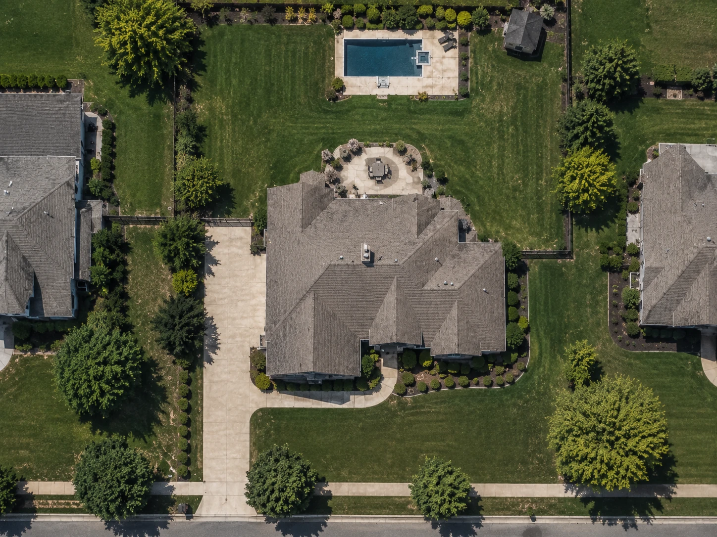
To measure a property online, search the address on a satellite map, identify the area you actually need, trace its boundary point by point, then close the shape to calculate the area. For irregular properties, follow each meaningful change in direction instead of estimating one length and width.
Start with what you actually need to measure.
“Property size” gets used loosely. It can mean the whole parcel, or the lawn, or the driveway, or the roof, or the fenced part of the back yard, or several disconnected areas added together. Those are different numbers.
A 12,000 sq ft parcel does not mean 12,000 sq ft of lawn. The house, the driveway, the patio, the beds and the walkways all sit inside that same figure. Which of them belongs in your measurement depends on what you are going to do with it, and that is worth deciding before you place the first point rather than after you read the total.
Whole property
Measure the complete area you intend to evaluate, from boundary to boundary, including everything standing on it.
One surface
Trace only the lawn, driveway, roof, bed, or other area that matters to the job in front of you.
Multiple areas
Measure separate sections individually when you need both their individual sizes and a combined total.
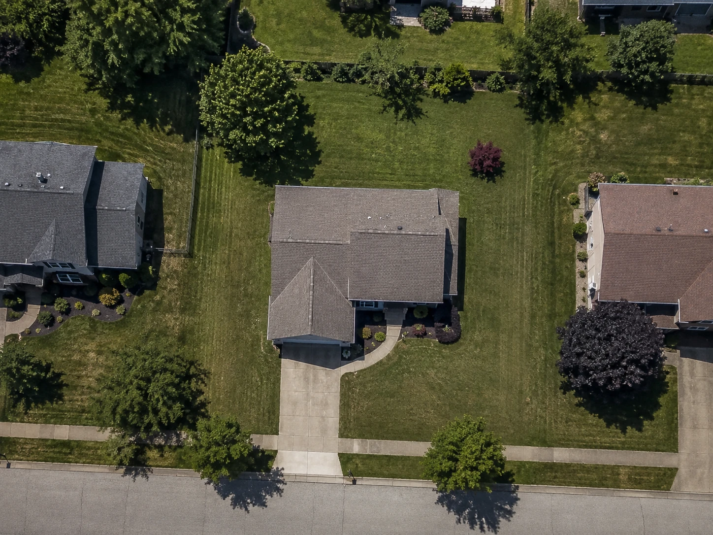
How to measure property online.
Search the property
Enter the address and zoom in far enough to tell the house, the road, the yard and the neighboring properties apart. If the edge you want is still ambiguous at that zoom, settle that before you place a point.
Choose the clearest aerial view
The first image is not always the best one. Captures differ by date, season, canopy, shadow and resolution. FindPropertySize carries Apple, Google, Mapbox and Esri imagery, so a boundary hidden in one view is often plain in another.
Choose the area you want to measure
Know what your points are following before you place them. Road edges, driveways, fences, tree lines, mowing lines and structures are all useful cues, and parcel overlays help where coverage exists. Treat each of them as a clue rather than as a legal line.
Trace the shape
Place a point at each meaningful change in direction. Too few points on an irregular edge cuts real corners off the shape, and extra points along a straight run add work without changing the result. Zoom in for the vertices that are hard to place.
Close the shape and review it
Closing the outline calculates the area. Then go back around the whole boundary and look for corners that missed the edge, points that fell inside or outside the area, curves cut too loosely, and shortcuts across an irregular section.
Refine before you use the result
Drag points until the outline matches what the imagery and your chosen boundary actually support. The first trace does not have to be the final one, and a minute spent on the corners is usually worth more than another zoom level.
The clearest image can matter more than another zoom level.
Aerial imagery is not one universal photograph. Every source captured the area on its own schedule, so the same property can look substantially different depending on which one you are looking at: leaves on or off, long shadows or none, a driveway that exists in one capture and not in another.
That matters when the edge you need is under a tree, in shadow, or behind something built since the picture was taken. Bare branches instead of full canopy can be the difference between guessing at a rear corner and seeing it.
So when a boundary is hard to read, switching sources is usually a better move than zooming further into the same image. Zooming enlarges the pixels you already have. A different capture may simply show the thing.
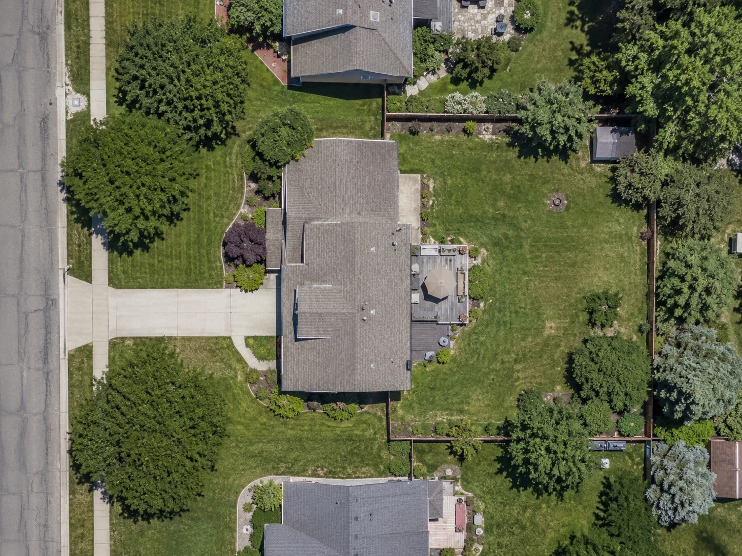
A visible edge is not always the property line.
A fence can sit inside a property, outside it, or along it. Hedges and tree lines get planted where it was convenient to plant them. A mowing edge tells you where somebody stopped mowing, which may be well short of what they own or well past it.
None of those is proof of ownership. They are good cues for deciding what to trace, and they are not evidence of where a legal line runs. That distinction matters most in the case where it is easiest to miss: when a fence and a boundary happen to agree along one side of a property and quietly diverge along another.
Parcel boundaries help where coverage exists. FindPropertySize can draw them over the imagery so you can see roughly where a parcel begins and ends. They are recorded reference data, though, and they can appear offset from the picture underneath them or differ from a surveyed line.
Parcel line overlays are currently available for properties in the U.S. and Canada. Measuring works anywhere in the world.
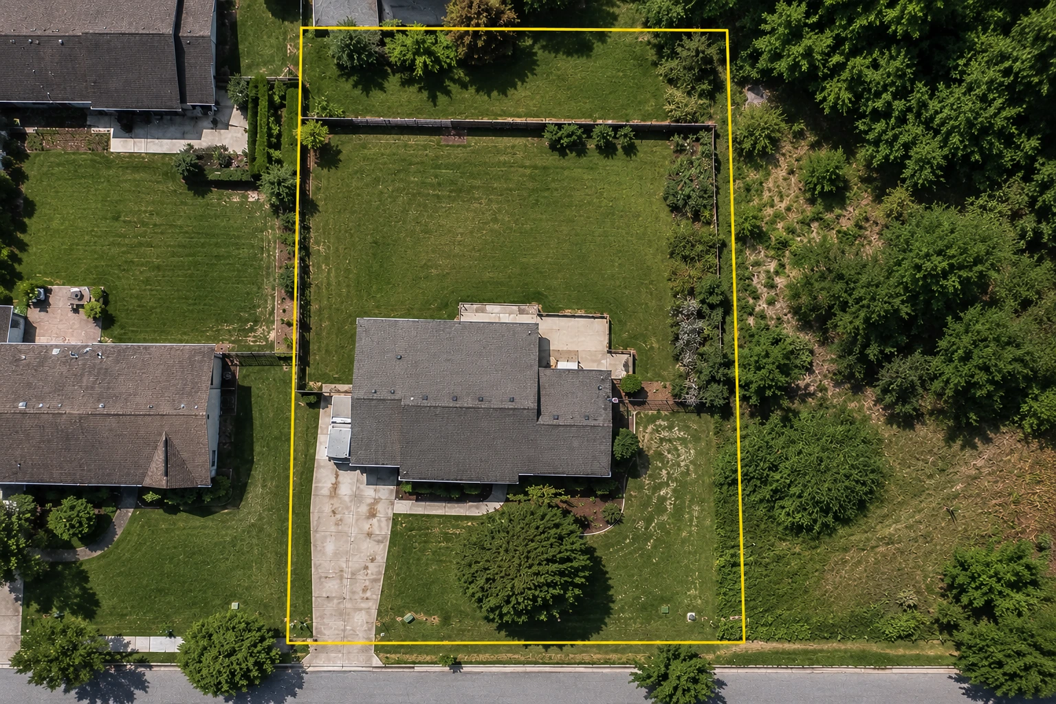
- 1Parcel boundary
- 2Fence
- 3Visible yard edge
Real properties rarely behave like perfect rectangles.
A traced outline does not care what shape a property is. It can follow an angled rear line, a curved driveway, the wandering edge of a lawn, the arc of a cul-de-sac frontage, a side yard that narrows to nothing, or a field that never had a straight edge in it.
What it needs from you is points in the right places. That is a judgment about the boundary rather than anything to do with the tool, and it is the one part of this that gets easier with practice.
Where the next point goes
Add a point wherever the boundary meaningfully changes direction. Along a straight edge, extra points usually add work without improving the measurement. Along a curve, add enough that the outline follows the arc instead of cutting the corner off it.
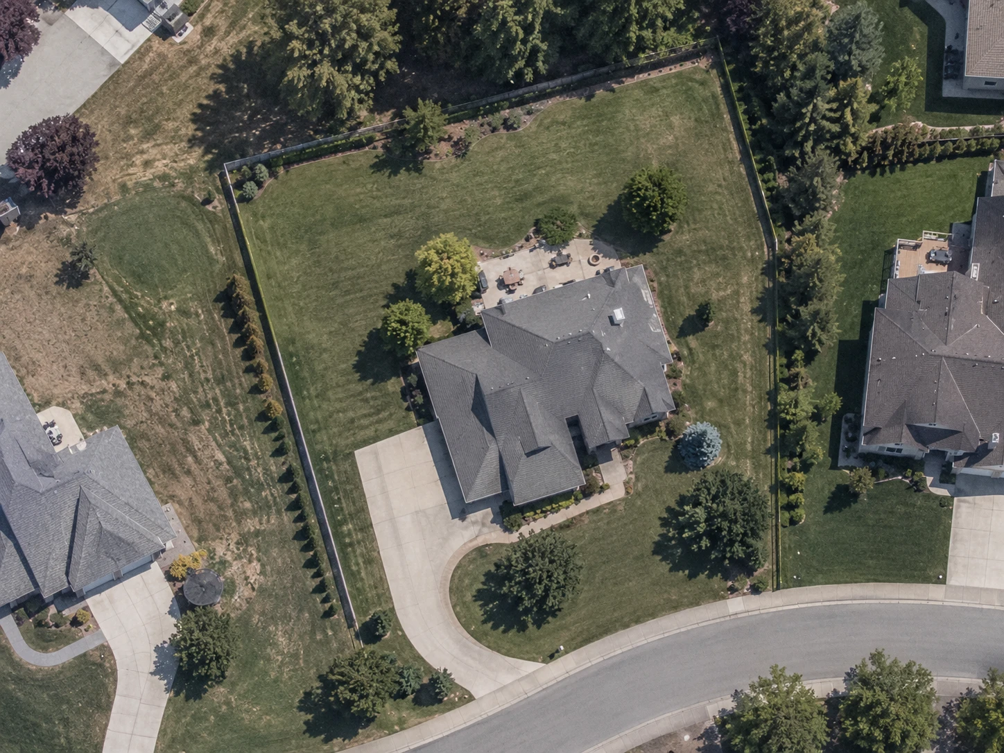
- 1Follow the actual property edgeTrace the real shape instead of forcing the property into a rectangle.
- 2Add points where the boundary changesPlace a point when the property edge meaningfully changes direction.
- 3Use more points along curvesA curved edge needs several points to follow its shape without cutting across it.
One property can contain several measurements.
Most real jobs need more than one number. A lawn treatment is priced on turf, not on the parcel. A resurfacing quote needs the driveway on its own. A property with grass in three disconnected places has three areas to measure and one total to report.
Measuring them as separate zones keeps both readings available at once. Each area reports its own square footage, and the ones that belong together add up.
The driveway on the same property measures 1,120 sq ft, and it is a separate zone rather than part of that total, because nobody is seeding it. Holding it out is what makes the turf figure usable, and keeping it as its own zone means the number is still there when the next quote needs it.
That is the shape of most estimating work: materials are bought against one total, labor is priced against another, and the surfaces that belong in neither have to be excluded rather than forgotten.
Example figures, shown to illustrate how separate zones combine.
Square feet or acres? Use the unit that fits.
Square feet are easy to picture on a residential lot, a lawn or a driveway. Acres become the better unit once a property is large enough that its square footage stops telling anyone anything. One acre is 43,560 square feet, so a 10,000 sq ft lot is about 0.230 acres and a half-acre lot is 21,780 sq ft.
In many other countries the same areas are read in square metres (square meters) and hectares. One acre is about 4,046.86 square metres, or 0.4047 hectares, and one hectare is 10,000 square metres. FindPropertySize reports a measurement in whichever of them you want, and switching units does not mean tracing the area again.
Use the unit your reader uses. A homeowner thinks in square feet, a land listing thinks in acres, and a materials supplier will tell you which one they want.
What affects an online property measurement?
The geometry is not the uncertain part. The area of a closed shape is exactly the area of that shape. Everything that moves the number sits upstream of the calculation: which boundary you chose, how well you could see it, and where the points went.
| What affects it | What that means in practice |
|---|---|
| Boundary choice | A precise polygon around the wrong boundary is still the wrong measurement. This is the largest of the five and the only one that has nothing to do with the imagery. |
| Imagery clarity | Tree canopy, shadow, seasonal cover and low resolution all hide edges. Whatever you cannot see, you are estimating rather than measuring. |
| Point placement | Too few vertices cut across an irregular edge. On a straight boundary that costs almost nothing; on a wandering one it can cost a lot. |
| Image alignment | Imagery and parcel overlays come from different sources and can appear offset from each other. Where they disagree, decide which one you are following instead of splitting the difference. |
| Property changes | A new driveway, an addition, a fence or fresh landscaping may postdate the capture. The picture shows the property as of the day it was taken. |
Know when an online measurement is enough and when it isn’t.
Measuring from imagery answers some questions well and others badly, and the split is fairly clean. It is good at how much surface is there. It is not an authority on where a line legally runs.
| Need | Best starting point | Why |
|---|---|---|
| Lawn, driveway, roof footprint, or landscaping estimate | Satellite measurement | Useful for estimating visible surface area. |
| Contractor quote or preliminary project planning | Satellite measurement | Useful when a practical area estimate is sufficient. |
| Checking approximate parcel context | Parcel map or county GIS | Useful for reviewing recorded parcel information. |
| Resolving a boundary dispute | Licensed surveyor | Requires an authoritative boundary determination. |
| Building directly near a property line | Survey and the applicable local records | Do not rely on a satellite trace alone. |
| Buying or selling where exact legal acreage matters | Recorded documents and professional review | Use authoritative property records as appropriate. |
Measuring an area and locating a legal boundary are different jobs.
Satellite imagery is useful for measuring visible areas and planning work. If the exact legal location of a property line matters, use authoritative records and a licensed surveyor where appropriate.
What property measurements are actually used for.
Estimating materials
Grass seed, sod, fertilizer, mulch, gravel, pavement and most other site materials are bought by area.
Quoting work
Contractors can price a measurable area up front and decide from there whether a site visit is necessary.
Planning projects
See how much ground a lawn, driveway, landscape bed, field or other project actually occupies before committing to it.
Property measurement questions
How can I measure my property online?
Search the address on a satellite map, decide which area you actually need, and trace its boundary point by point. Closing the shape calculates the enclosed area, and FindPropertySize reports it in square feet and acres as you trace.
Can I measure property from satellite imagery?
Yes. Anything visible from above can be traced and measured, including a full lot, a lawn, a driveway, a roof footprint, or a field. The measurement is only as good as what the imagery shows, so a boundary hidden under canopy or shadow is being estimated rather than seen.
How do I measure an irregular property?
Trace it as it is. Place a point at each change in direction around the boundary and let the shape have as many sides as it needs. There is no requirement to simplify an irregular lot into a rectangle, and doing that is usually what makes the figure wrong.
How many points should I use when tracing a property?
As many as the boundary changes direction, and no more. A straight edge needs a point at each end. A curve needs enough points to follow the arc instead of cutting across it. Extra points along a straight run add work without changing the result.
Can a fence be used as the property line?
Only as a clue. Fences get built inside, outside and along boundaries, and a fence line can be older than the current parcel record. Use it to decide what to trace if the fenced area is what you mean to measure, and use recorded documents or a licensed surveyor if the legal line is the question.
How accurate are online property measurements?
The area calculation is exact for whatever shape you draw. What varies is the shape: which boundary you chose, how clearly the imagery shows it, and how carefully the points were placed. That is usually close enough for planning and estimating, and it is not a substitute for a survey.
Can I measure more than one area on the same property?
Yes. Measure each area as its own zone. Every zone reports its own square footage and the ones that belong together add up, which is how a front, back and side lawn become one turf figure while the driveway stays out of it.
Can I measure property in acres instead of square feet?
Yes. Measurements are reported in square feet with acreage alongside, and one acre is 43,560 square feet. Larger properties are easier to read in acres, while a lawn or a driveway is easier to read in square feet.
Is an online property measurement the same as a survey?
No. A survey is a licensed determination of where boundaries legally lie, made on the ground. An online measurement is an area calculated from a shape you traced on a photograph. It is useful for estimating and planning, and it does not establish a property line.
Related tools and resources
Ready to measure the property?
Search the address, choose the clearest view, and trace the area you need.
Free to start. No sign-up required.