Free Property Measurement Tool
Measure lawns, lots, driveways, roofs, landscape areas, and more directly from satellite imagery. Search any address, trace the areas you need, and get the square footage instantly.
No download required. Start measuring online in seconds.
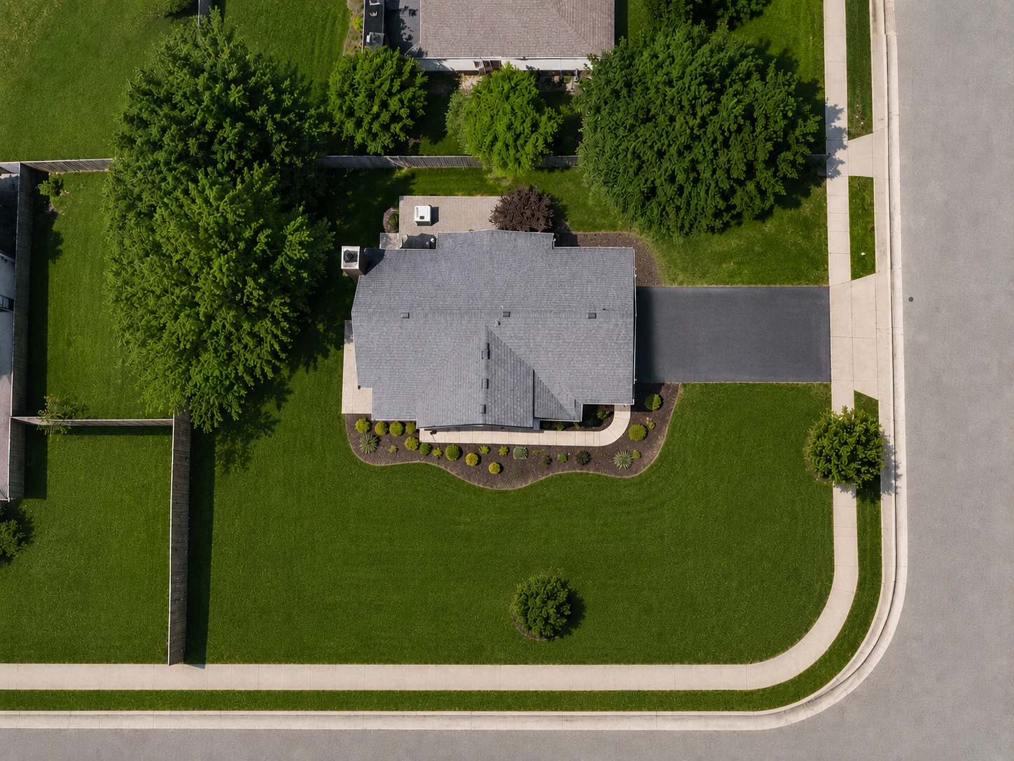
A property measurement tool lets you measure a property from above instead of on foot. Search an address, find it on satellite imagery, and trace the lawn, driveway, roof, lot, or any other area you need. The square footage is calculated as you draw, and each area can be measured on its own.
Measure any part of a property from satellite imagery.
Property measurements are rarely limited to the entire lot. FindPropertySize lets you trace the exact areas you need and calculate their square footage independently.
Measure a lawn for seed or fertilizer, a driveway for sealing, a roof for an estimate, landscaping beds for materials, or the full property for planning. Simply trace the area on the map and the measurement updates automatically.
| What you can measure | What the measurement is for |
|---|---|
| Lawns | Calculate lawn square footage for seed, fertilizer, sod, or treatment estimates. |
| Driveways | Measure concrete or asphalt areas for sealing, paving, pressure washing, or replacement. |
| Roofs | Estimate visible roof area from above for early project planning and quoting. |
| Landscape areas | Measure mulch beds, hardscapes, patios, and other outdoor spaces separately. |
| Lots and acreage | Trace larger property areas and view measurements in square feet or acres. |
| Multiple areas | Create separate measurement zones so every part of the property can be calculated independently. |
Measure a property online in just a few steps.
Search the property
Enter an address to instantly locate the property on the map.
Choose the clearest view
Use the available satellite imagery to find the view that makes the area easiest to see.
Trace the area
Place points around the lawn, driveway, roof, lot, or other area you want to measure.
Get the measurement
See the calculated square footage as you draw and add additional measurement zones when needed.
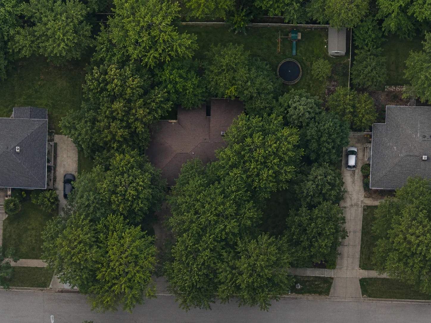
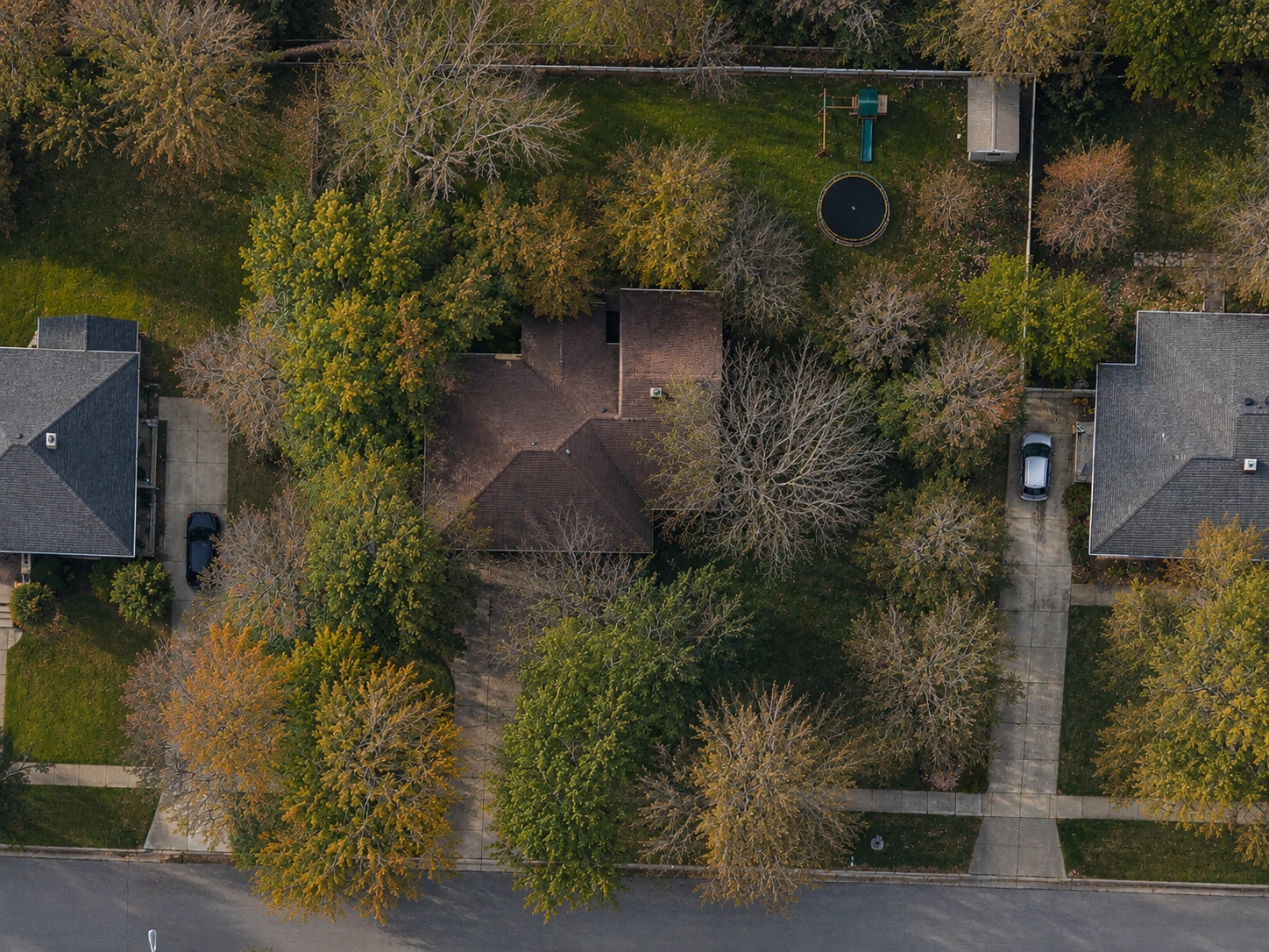
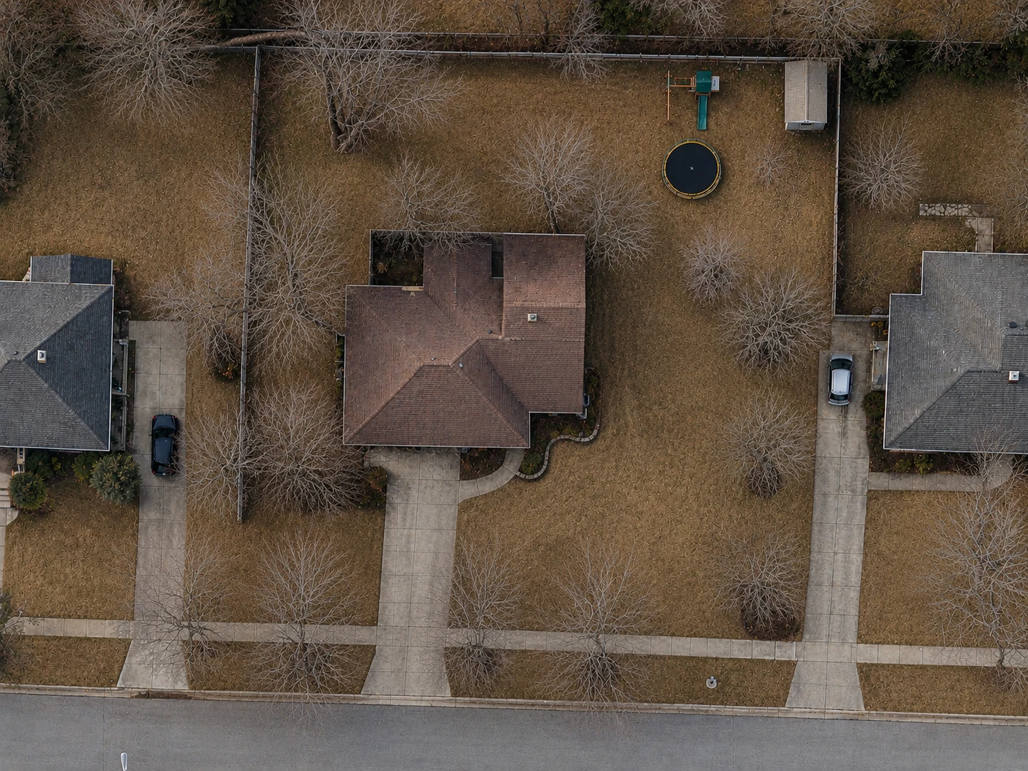
Use the clearest satellite view for every property.
A single satellite image is not always the best view of a property. Trees, shadows, image age, and camera angle can make an area difficult to see. FindPropertySize gives you access to multiple available map and imagery sources so you can choose the view that makes the property easiest to measure.
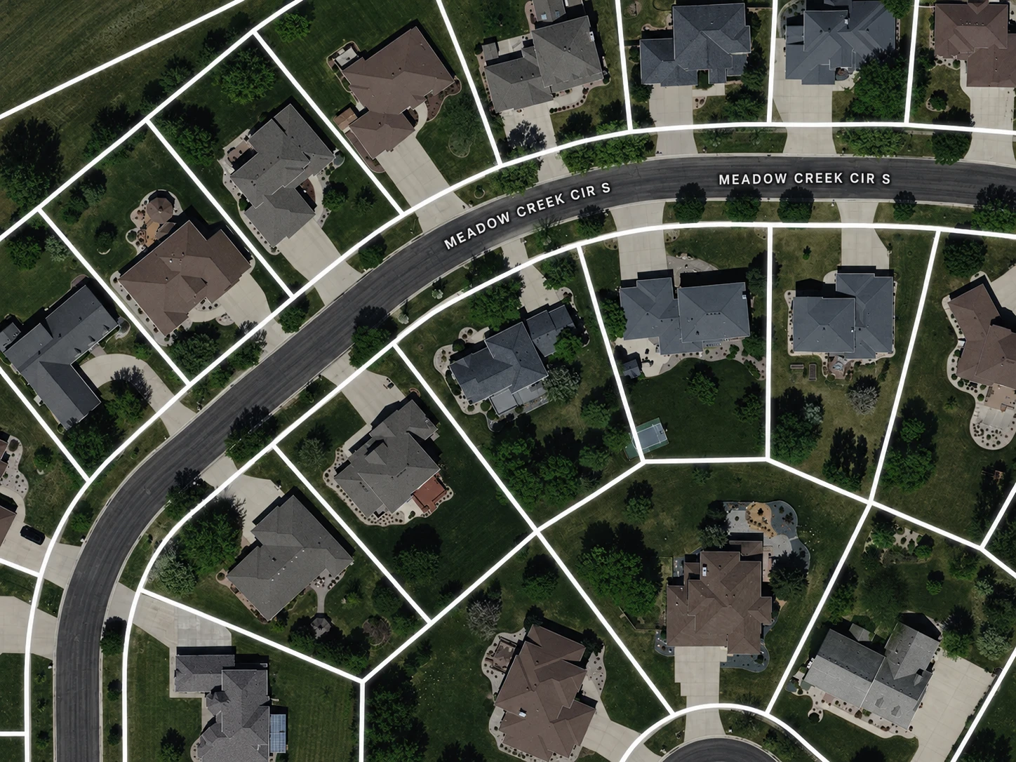
See property boundaries while you measure.
Property boundary data can provide helpful context while measuring a lot, lawn, driveway, or other outdoor area. Turn parcel lines on when available to better understand where a property begins and ends while tracing your measurement.
Parcel line overlays are currently available for properties in the U.S. and Canada. Measuring works anywhere in the world.
Measure different areas of the same property separately.
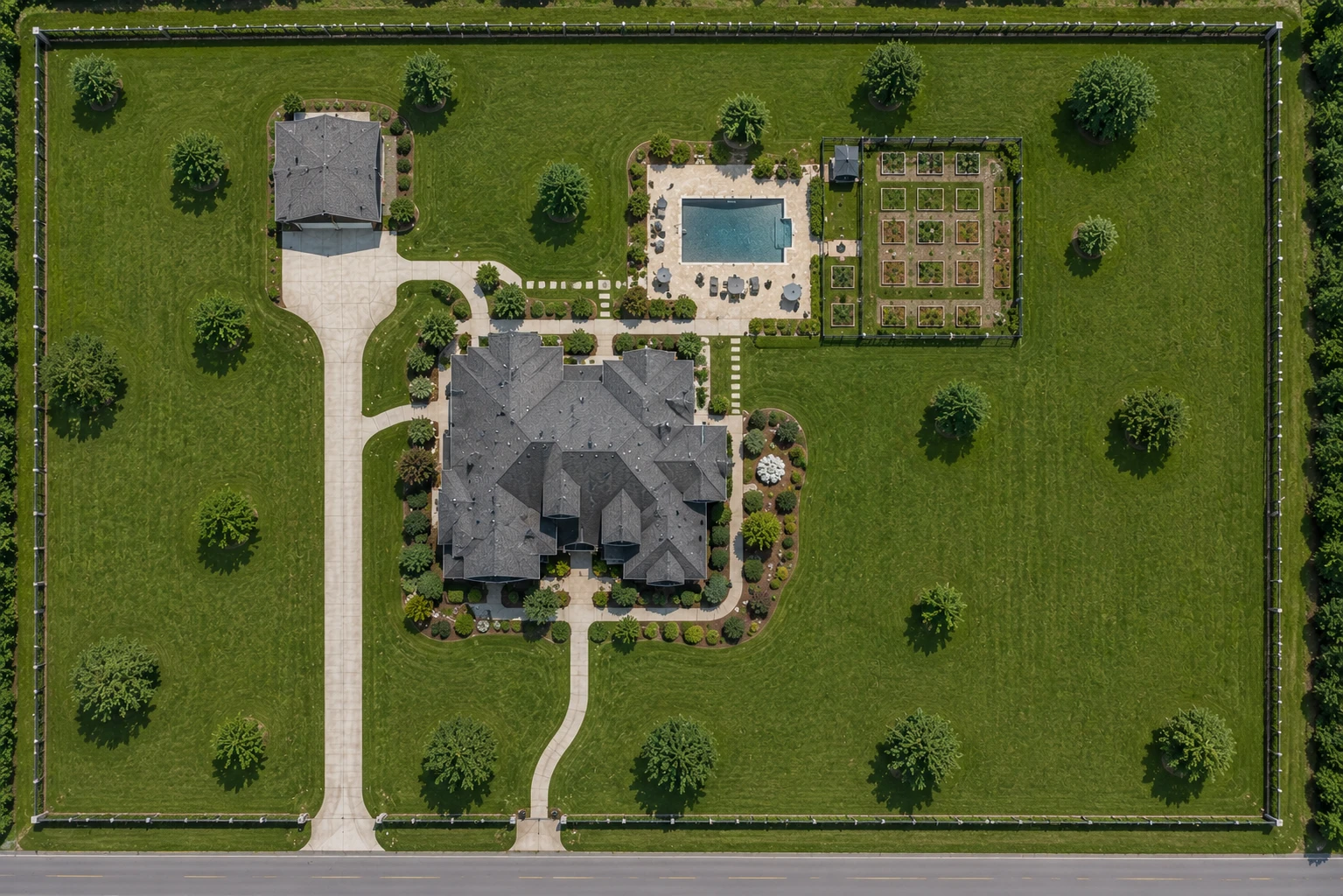
Many projects require more than one measurement. Instead of combining everything into a single number, create separate zones for each area you need.
Measure the front lawn, backyard, driveway, landscape beds, roof sections, or other areas individually while still seeing the total measured area for the property.
Front lawn
Measure the turf area separately.
Backyard
Create another zone without affecting the first measurement.
Driveway
Keep hardscape measurements separate from lawn measurements.
Other areas
Add additional zones for the parts of the property relevant to your project.
Useful for homeowners, contractors, and property projects.
Whether you’re planning a project at your own property or preparing an estimate for a customer, an online property measurement can help you understand the size of the job before stepping on site.
| Who it is for | What they measure |
|---|---|
| Lawn care | Measure turf areas for aeration, overseeding, fertilizer, sod, and lawn treatments. |
| Landscaping | Calculate landscape beds, mulch areas, hardscapes, and outdoor project spaces. |
| Driveway services | Measure asphalt and concrete for sealing, paving, cleaning, coating, or replacement estimates. |
| Roofing | Use visible roof measurements for early estimating and project planning. |
| Property owners | Measure your own property before ordering materials, planning improvements, or comparing project options. |
| Contractors | Measure customer properties remotely before preparing estimates or visiting the job site. |
Measure before you visit the property.
Traditional property measurements often require walking the site with a measuring wheel or relying on rough estimates. Satellite measurement gives you another option when you need the approximate size of an outdoor area quickly.
| Method | Best for | Considerations |
|---|---|---|
| FindPropertySize | Remote property and project measurements | Trace irregular areas directly from satellite imagery and measure multiple zones. |
| Measuring wheel | On-site measurements | Can be highly useful on accessible properties but requires visiting and walking the area. |
| Recorded parcel data | Understanding recorded lot dimensions or acreage | Represents parcel records rather than the specific lawn, driveway, roof, or project area you may need. |
| Professional survey | Legal boundary determination | The appropriate option when legally established property boundaries are required. |
A measured area is not a surveyed boundary.
Measuring from imagery tells you how much of a surface is there. It does not establish where a property line runs, and it is not a substitute for a survey when a legal boundary is what a decision turns on.
Looking for the recorded lot size instead? Find it by address
Measure irregular shapes, not just rectangles.
Real properties rarely fit into perfect rectangles. Curved driveways, irregular lawns, angled lot lines and landscape beds all need more than a length and a width, so FindPropertySize has you trace around the actual visible shape. Add points around the perimeter and the area is calculated from the shape you create.
Property measurement tool FAQs
Can I measure a property online?
Yes. Search an address in FindPropertySize, locate the area on satellite imagery, and trace around it to calculate the square footage. You can measure the entire visible property or specific areas such as lawns, driveways, roofs, and landscape beds.
Is the property measurement tool free?
You can start measuring properties for free with FindPropertySize. Paid options are available for users who need higher usage limits and additional features.
Can I measure irregularly shaped areas?
Yes. You can place multiple points around the perimeter of an irregular shape instead of relying on simple length-by-width calculations.
Can I measure more than one area on a property?
Yes. FindPropertySize supports multiple measurement zones so areas such as a front lawn, backyard, driveway, and landscape beds can be measured separately on the same property.
Can I see property lines while measuring?
For supported properties in the U.S. and Canada, parcel boundary data can be displayed on the map to provide additional context while measuring. Parcel data is intended as a reference and is not a replacement for a professional survey.
How accurate are satellite property measurements?
Accuracy depends on factors including image quality, how clearly the area can be identified, and how precisely the measurement boundary is traced. Satellite measurements are useful for estimates and planning, but they should not replace a professional survey when legally established boundaries are required.
Do I need to download software?
No. FindPropertySize runs in your web browser, so you can search and measure properties online without installing dedicated measurement software.
Can contractors use the property measurement tool?
Yes. Contractors can use FindPropertySize to measure customer properties remotely for estimating and project planning. Our property measurement tools for contractors page covers the contractor-focused features in more detail.
Does the property measurement tool work outside the United States?
Property measurement itself can be used for supported addresses outside the United States. Parcel boundary availability varies, and our parcel boundary data currently covers properties in the U.S. and Canada.
Related property measurement tools
Measure your next property online.
Search an address, trace the areas you need, and calculate property measurements directly from satellite imagery.
Start free. No credit card required.